Posted: 10.12.2020
Between December 7 and 11, 2020, another online training for specialists in charge of radiation safety assurance and radiological monitoring (Group A personnel) is held in the Training and Information Center of the branch ‘Institute of Radiation Safety and Ecology’ RSE ‘National Nuclear Center of the Republic of Kazakhstan (IRSE NNC RK) on the subject: […]

Posted: 03.09.2016
The conference took place in Kurchatov city of the East-Kazakhstan region based on RSE “National Nuclear Center of the Republic of Kazakhstan”, Ministry of Energy of the Republic of Kazakhstan, on September 19 — 24, 2016 CONFERENCE ORGANIZERS Ministry of Energy of the Republic of Kazakhstan RSE “National Nuclear Center RK” Branch “Institute of Radiation […]
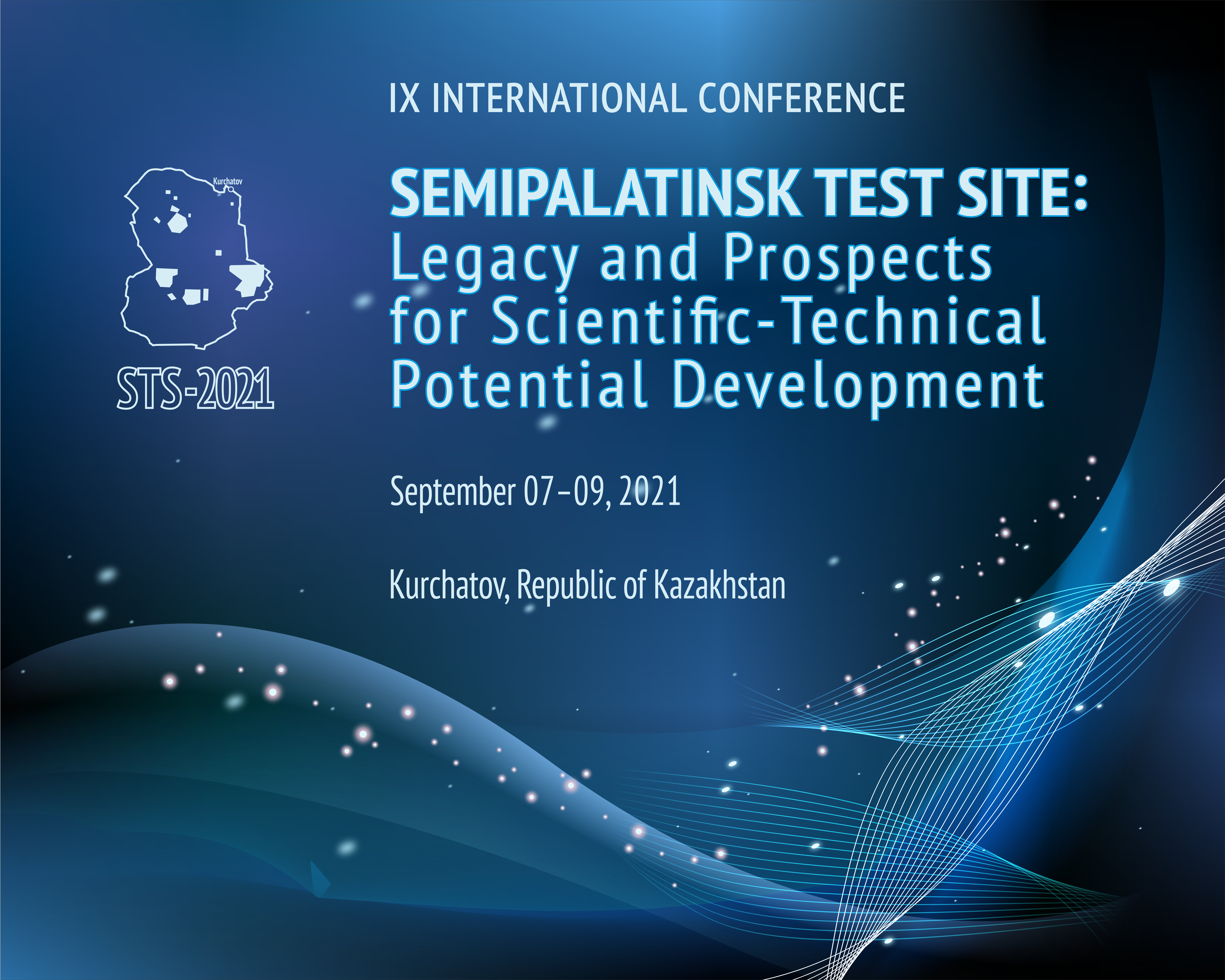
Posted: 10.09.2021
On September 9, IX International conference ‘SEMIPALATINSK TEST SITE: LEGACY AND PROSPECTS FOR SCIENTIFIC-TECHNICAL POTENTIAL DEVELOPMENT’ dedicated to the 30th anniversary of the closure of Semipalatinsk Test Site was came to an end. Scientists and specialists working in the field of radiobiology and radiation medicine from 15 countries of near and far abroad ((Kazakhstan, Russia, […]
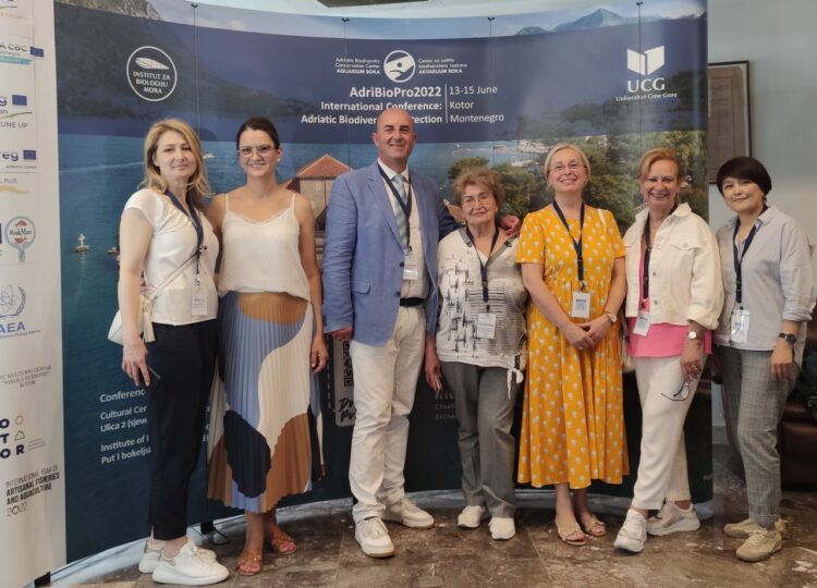
Posted: 21.06.2022
The International conference ‘Adriatic Biodiversity Protection – AdriBioPro-2022’ was held in Kotor city, Montenegro, June 13 through 15, 2022. As part of the conference, a meeting under the IAEA’s TC Project RER7015 – ‘Enhanced management of coastal zones of the Mediterranean, Black, Caspian and Aral seas using nuclear analytical techniques’ was held. The conference was […]
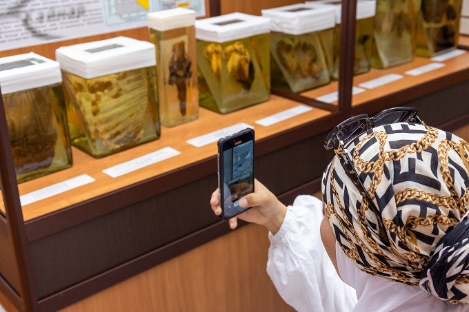
Posted: 25.08.2023
On the threshold of the International Day of Antinuclear Test Actions, the National Nuclear Center RK hosted tours of the exhibition hall of the Semipalatinsk Test Site (STS) for Kazakhstanis and residents from near and far abroad. The hall presents genuine exhibits and scientific documents. The stock numbers about 100 storage units. A programed control […]
Posted: 06.09.2023
On August 28 and 29, 2023 XVI International scientific and practical conference was held in Semei city to commemorate an outstanding scientist B. А. Atchabarov and the 70th anniversary of the Non-profit JSC ‘Semei Medical University’. This event gathered leading scientists, physicians and public figures not only from Kazakhstan but also from all over the […]
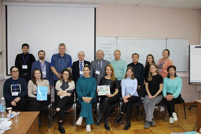
Posted: 10.11.2023
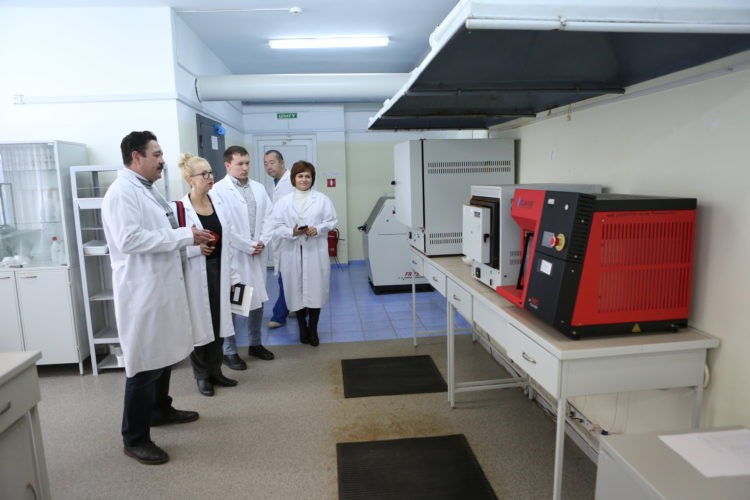
Under the implementation of IRN Project AP19576259 ‘Ecological assessment of small rivers as an indicator of the geosystem transformation of mining regions in the East Kazakhstan’, engineers from the elemental analysis laboratory, the Monitoring, Ecological and Analytical Research Department (MEARD) V.V. Kolbin and Ye.Z. Shakenov completed the staff development course ‘Application Basics of the inductively […]
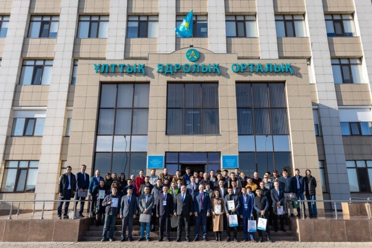
Posted: 18.10.2022
Between October 12 and 14, 2022 RSE ‘National Nuclear Center RK’ hosted ХХI annual Research and Development contest conference for young scientists and specialists of NNC RK. The contest conference was attended by 5 young scientists in the applied research focus area on behalf of the ‘Institute of Radiation Safety and Ecology’: – Rinata Yermakova […]
Posted: 08.11.2018
On November 8, 2018 as part of projects implementation according to the IAEA technical cooperation program, the National Nuclear Center RK was visited by an IAEA Technical Cooperation Department representative, Katherina Deufrains. The main objective of the visit were issues concerning implementation of national projects under IAEA TC whereby the work in the National Nuclear […]


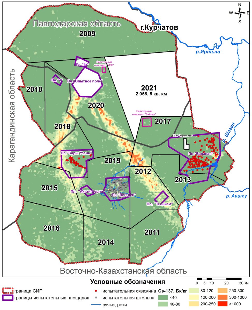
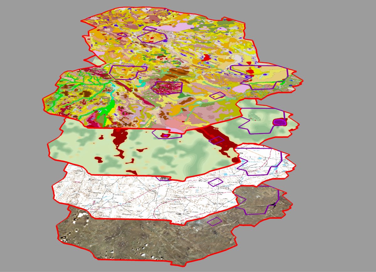 Currently we already have the first batch of passport data (results of field sampling) for the eastern part of the STS territory. Sampling results are introduced into database, and then using laboratory measurements results by means of GIS-analysis, actual understandable map material (maps, schemes, diagrams and tables and etc.), that can give the answers to multiple questions will be obtained.
As a conclusion we can notice that works on cartographic support of radioecological survey of the STS fully comply with the previously determined schedule time.
Currently we already have the first batch of passport data (results of field sampling) for the eastern part of the STS territory. Sampling results are introduced into database, and then using laboratory measurements results by means of GIS-analysis, actual understandable map material (maps, schemes, diagrams and tables and etc.), that can give the answers to multiple questions will be obtained.
As a conclusion we can notice that works on cartographic support of radioecological survey of the STS fully comply with the previously determined schedule time.