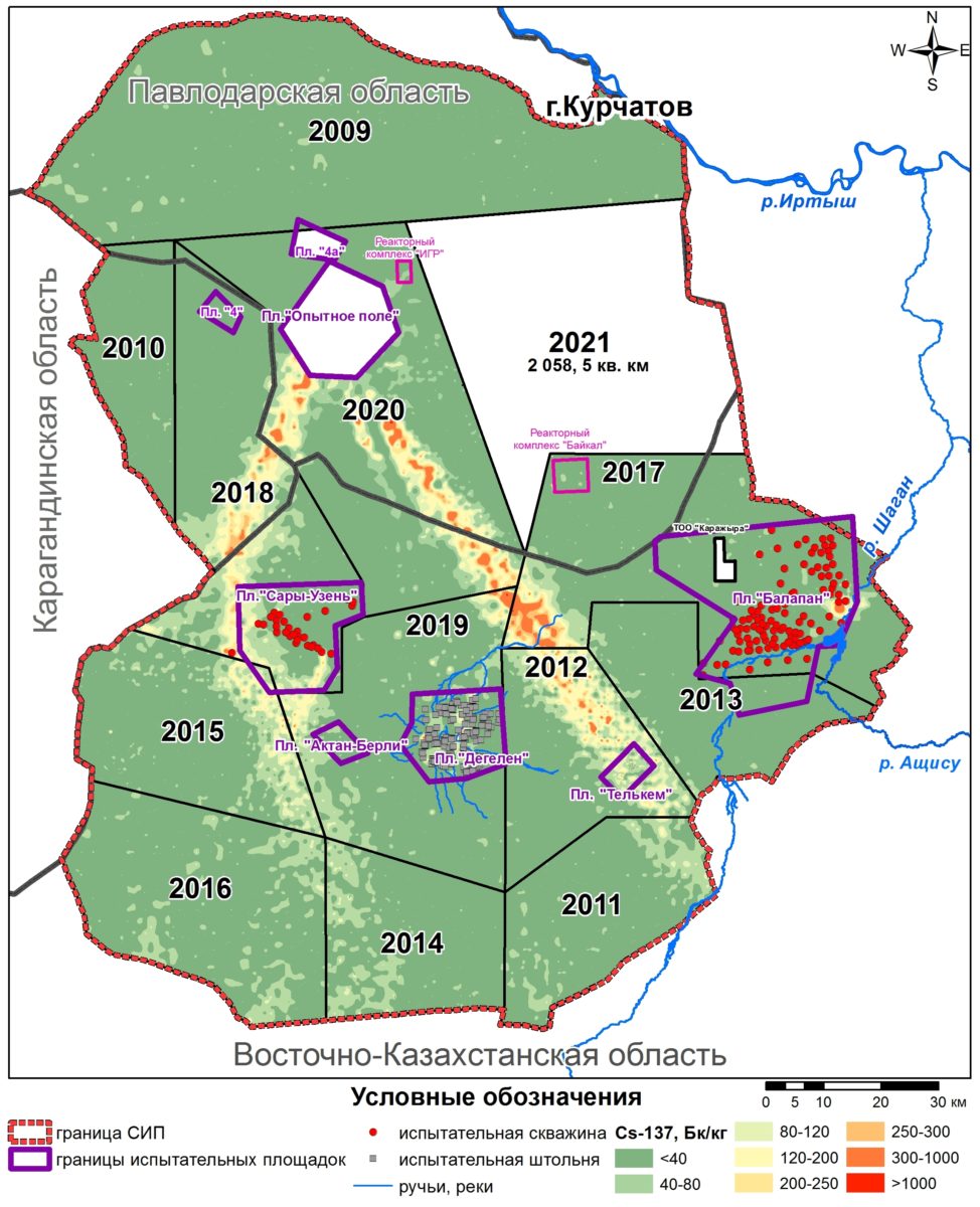
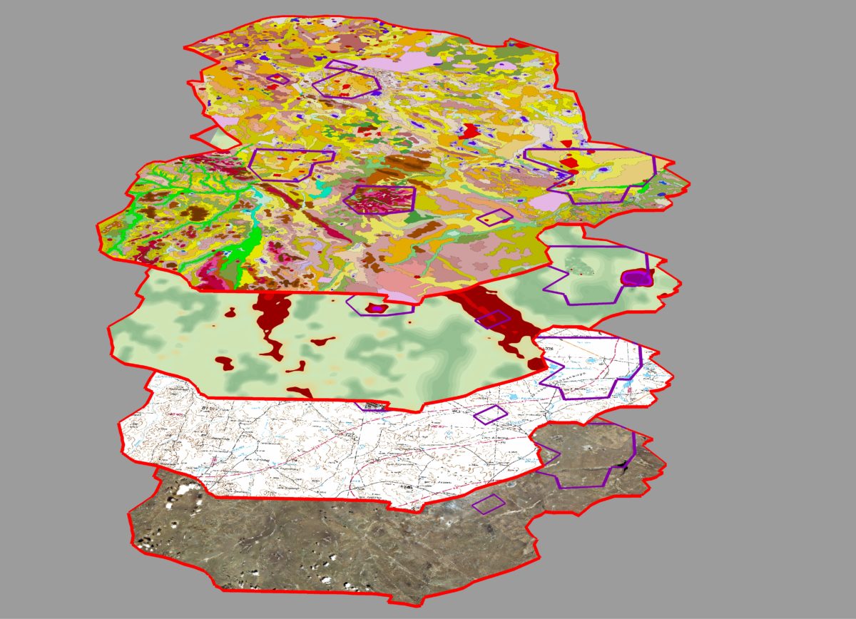
 Currently we already have the first batch of passport data (results of field sampling) for the eastern part of the STS territory. Sampling results are introduced into database, and then using laboratory measurements results by means of GIS-analysis, actual understandable map material (maps, schemes, diagrams and tables and etc.), that can give the answers to multiple questions will be obtained.
As a conclusion we can notice that works on cartographic support of radioecological survey of the STS fully comply with the previously determined schedule time.
Currently we already have the first batch of passport data (results of field sampling) for the eastern part of the STS territory. Sampling results are introduced into database, and then using laboratory measurements results by means of GIS-analysis, actual understandable map material (maps, schemes, diagrams and tables and etc.), that can give the answers to multiple questions will be obtained.
As a conclusion we can notice that works on cartographic support of radioecological survey of the STS fully comply with the previously determined schedule time.