Professional training in the field of radiation safety
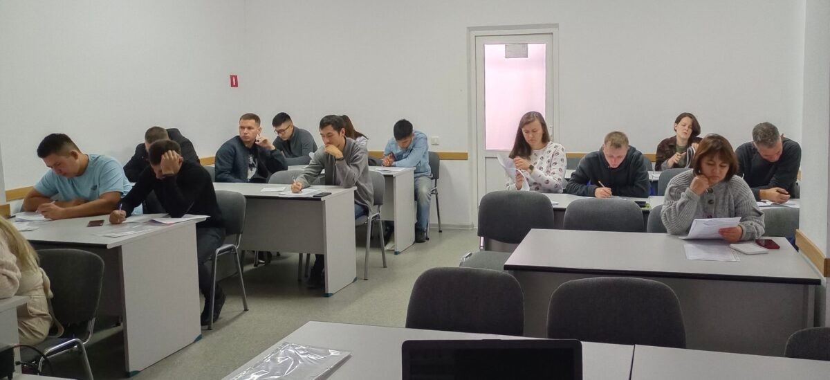
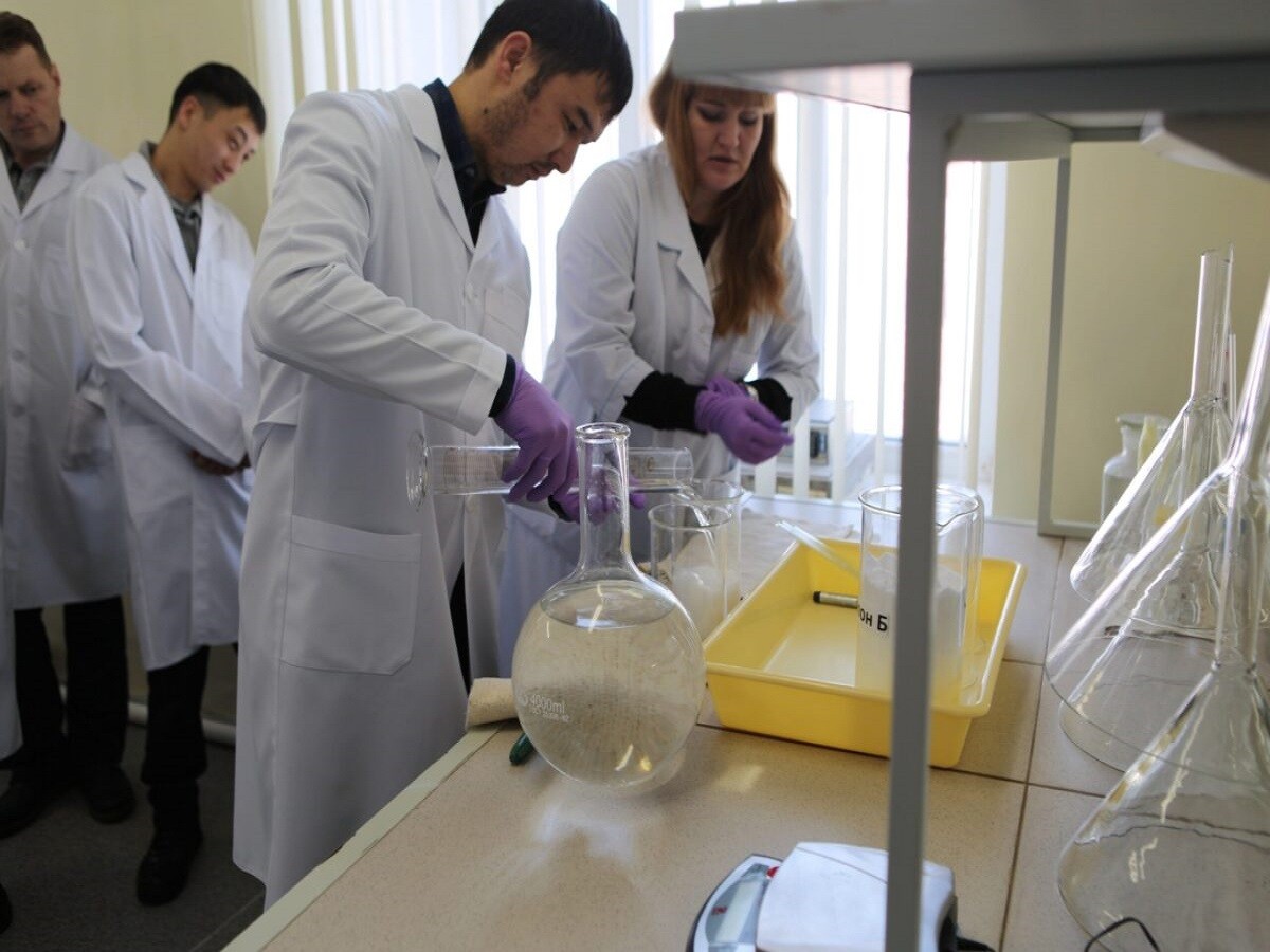
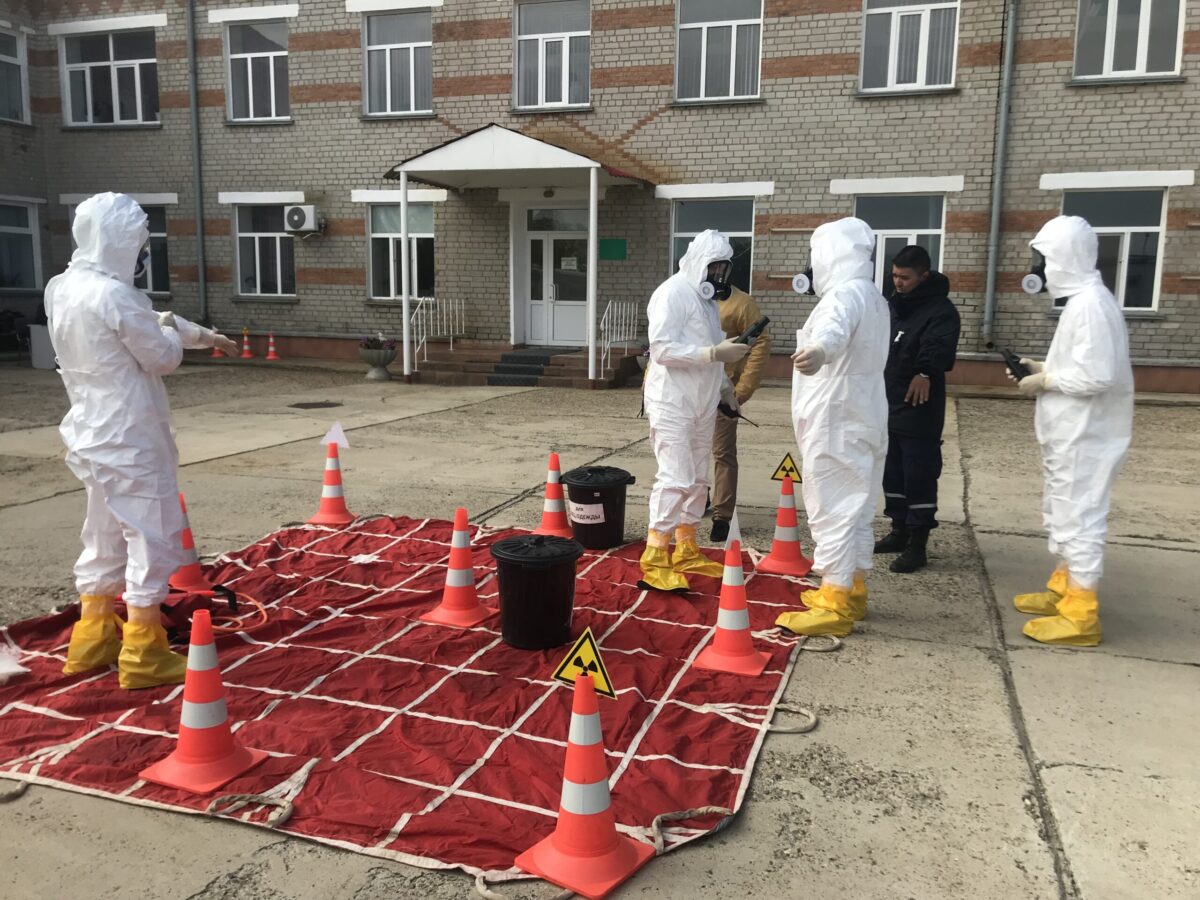
Outreach and awareness-raising is of great importance in the activity of the Institute of Radiation Safety and Ecology.
Training in the field of radiation safety when using sources of ionizing radiation is one of the major focus areas in the Information Support Department.
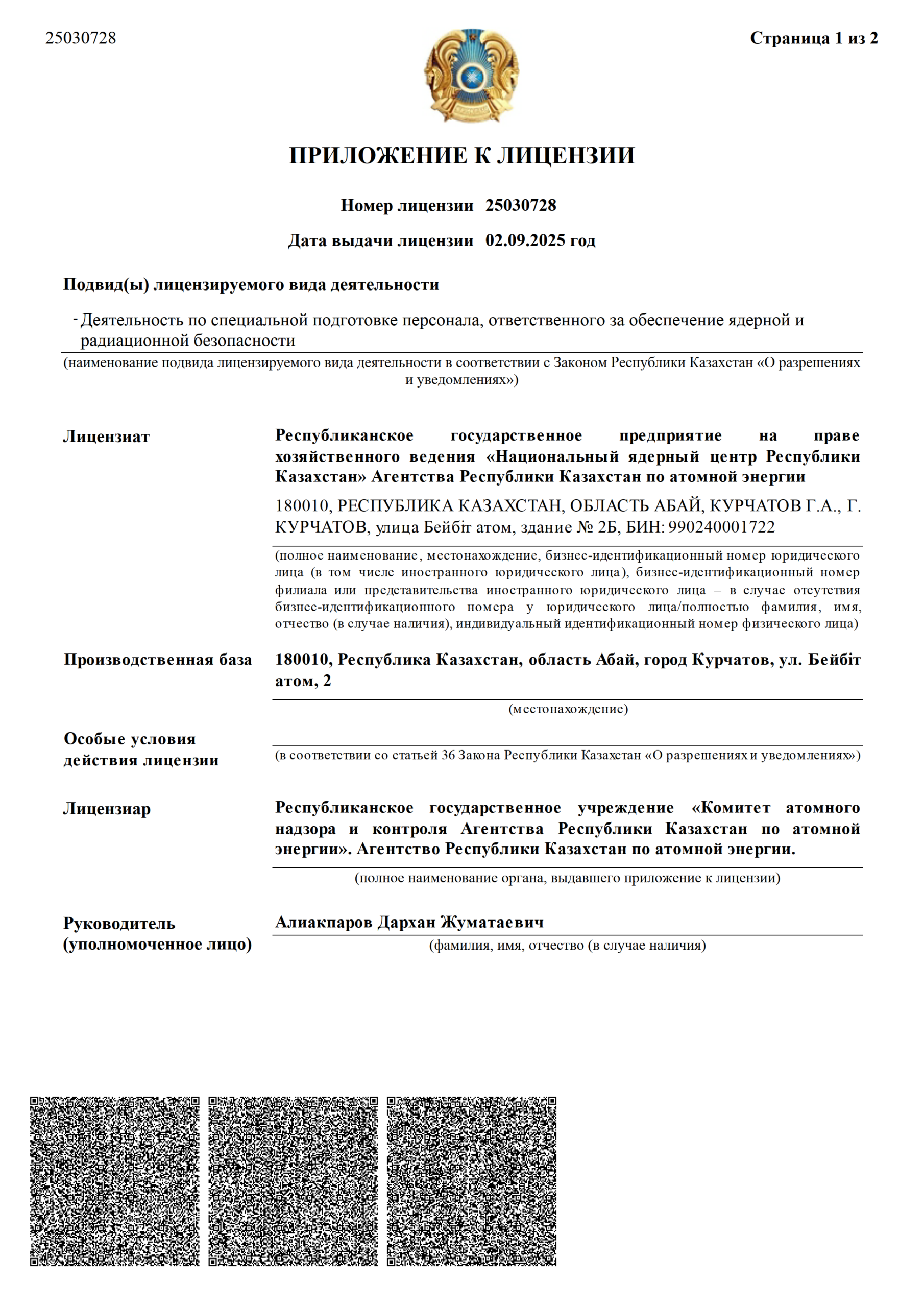
As a result, attendees obtain knowledge and hands-on skills in regulatory, organizational and technical basics.
– More
Course
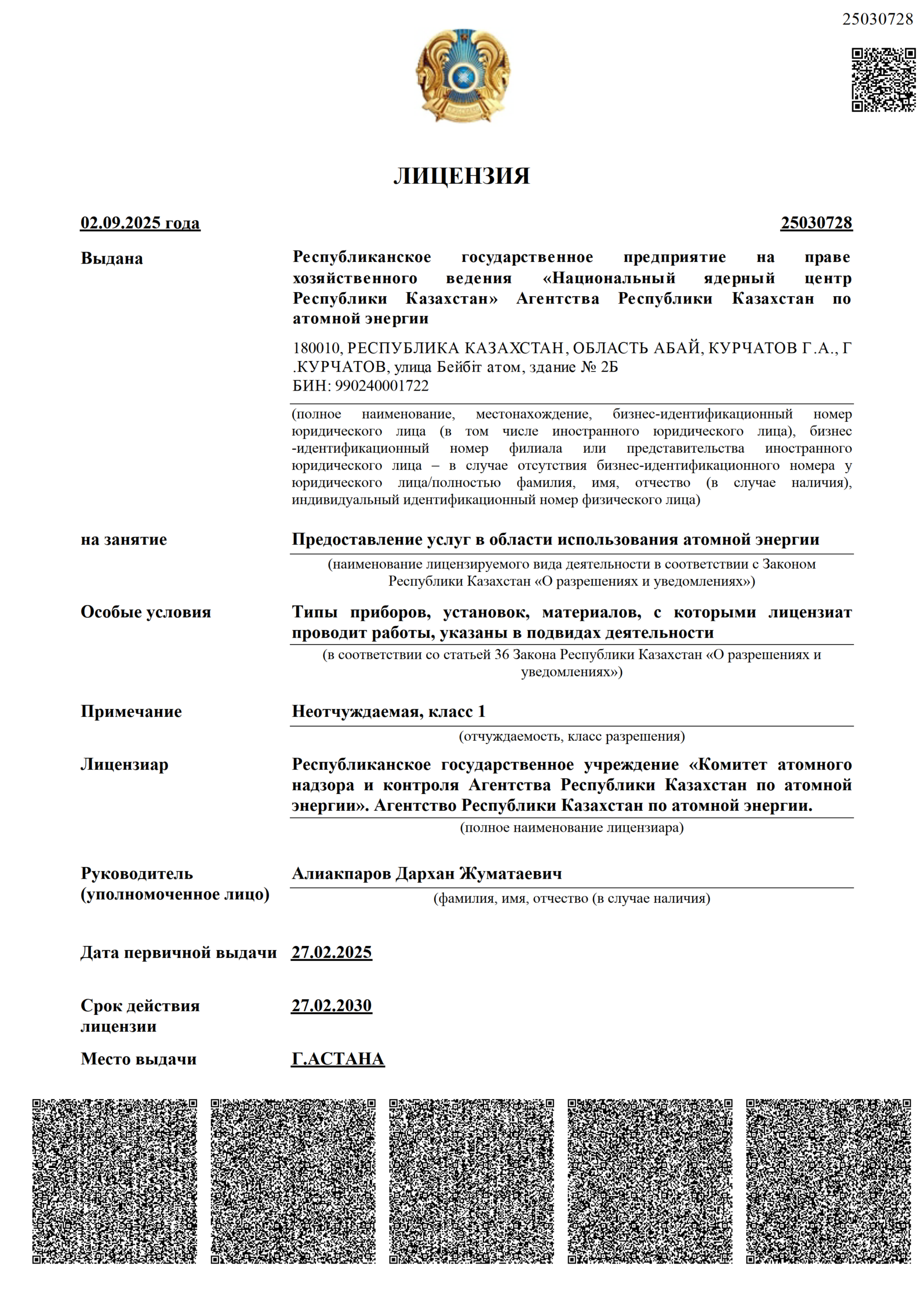
This type of activity is provided with State License #25030728 issued by a Republican state institution ‘Committee for Atomic Supervision and Inspection of the Atomic Energy Agency of the Republic of Kazakhstan’. The Atomic Energy Agency of the Republic of Kazakhstan.
As a result of training, course attendees will obtain knowledge and hands-on skills in the field of the regulatory, organizational and technical framework.
The course is held in three thematic areas:
- Special training of personnel who is in charge of radiation safety assurance. Radiation protection and safety.
- Radiation safety assurance in X-ray diagnostics.
- Special training of personnel in response to nuclear and radiological emergencies.
Pass testing
GEOINFORMATION TECHNOLOGY LABORATORY
As part of information technologies, a general radioecological research database of the Institute is maintained and map documents are accordingly prepared to plan future activities and draw up deliverables.
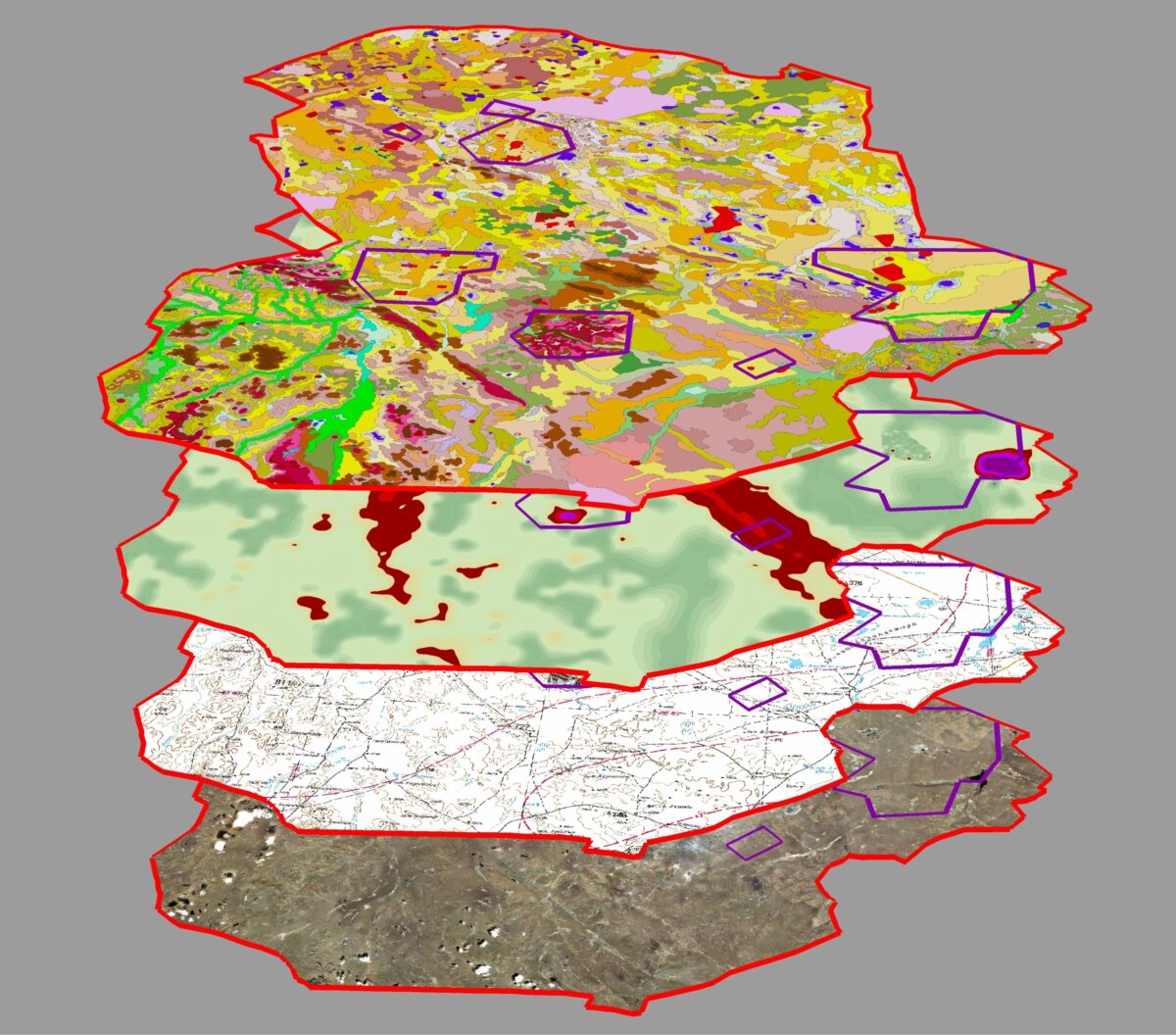
Based upon the GIS technology, a unified information module is created for collecting and systemizing data obtained from research activities. Visualization and analysis of outputs allow planning of further work (scheming, routing, comprehensive mapping). A comprehensive analysis of findings allows the definition of the pattern and mechanism of contamination in study areas. To visually interpret and analyze radiological research findings, 3D models of environmental compartments are constructed.
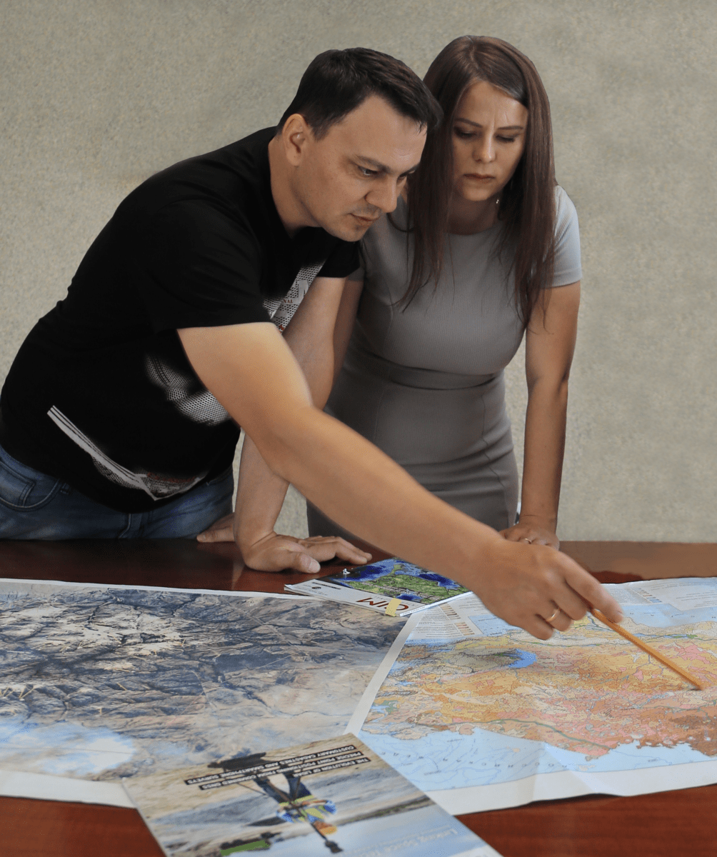
Development of GIS projects
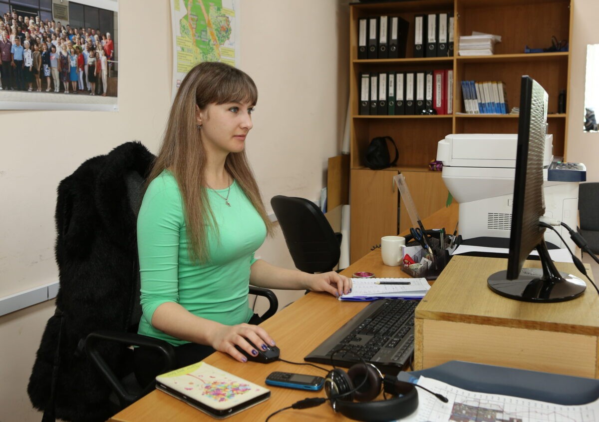
The main purpose of GIS project development is to create a unified information module based upon the GIS technology. The information module is intended to collect and systemize data obtained from the field work and laboratory analyses. Visualization and analysis of outputs allow planning of further work (scheming, routing, comprehensive mapping). A comprehensive analysis of findings allows the definition of the pattern and mechanism of contamination in study areas.
Interpretation of satellite images
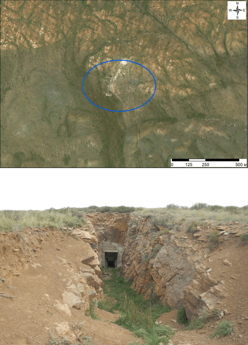
The main goal of satellite image interpretation is to reveal potential radiation hazardous objects posing a public threat. To identify man-made objects in the study area, interpretation is accomplished combining satellite image interpretation (office interpretation of the terrain) and a visual ground examination (field interpretation). Upon the completion of interpretation, a catalogue of objects identified is compiled with their photographs and brief descriptions.
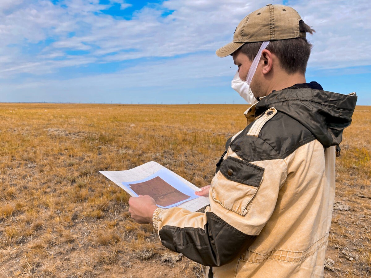
3D-modelling of environmental compartments
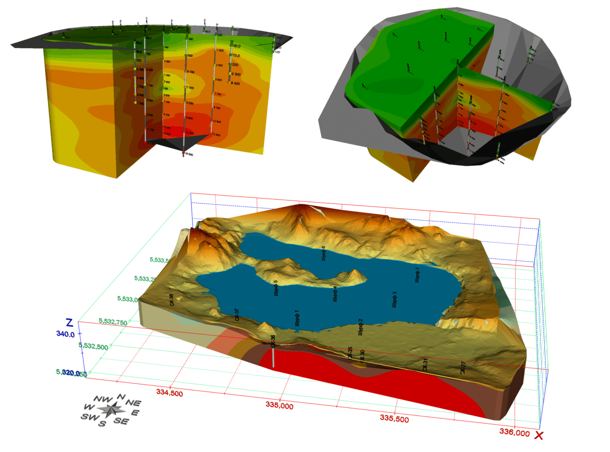

3D environmental models are constructed to analyze radiological research data. These models properly demonstrate and interpret data thereby enabling to convey the information on a medium of interest more completely as well as allow the fulfilment of a number of unsolvable applied tasks using conventional two-dimensional maps. In particular, 3D models allow the assessment of the vertical distribution pattern of the major radionuclides in soil and water in researching into the ecological situation around STS.
Radiological research database maintenance
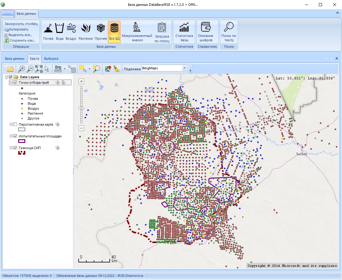
The laboratory developed the Institute’s radiological research database involving the information on general cahcharacteristics of samples collected and their gamma-spectrometric, radiochemical, chemical and other analyses. It allows the assessment of both the current radioecological situation in the territory and provides insight into its changes. The database has gathered data since 1997 and, as of today, continues to expand.
BUREAU OF SCIENTIFIC AND TECHNICAL INFORMATION
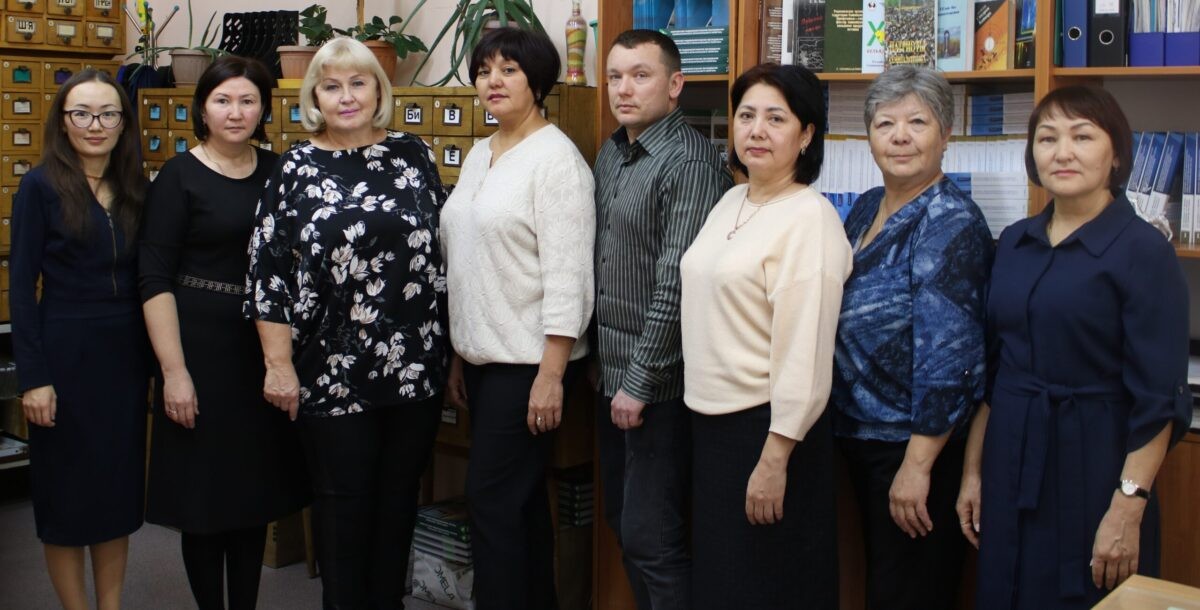
The main objectives of the Bureau of Scientific and Technical Information (BSTI):
- Meeting the public and making it aware of the information on the radiological situation in residential areas adjacent to the former Semipalatinsk Test Site (STS).
- Arranging and holding conversations in the STS exhibition hall with secondary school and university students living regions adjacent to STS.
- Carrying out publishing activities.
- Involvement in arranging conferences, workshops, exhibitions, contests for young scientists including the ones at the international level.
- Provision of Institute’s specialists with dedicated information necessary for research and development activities.
- Acquisition of and methodological assistance with the reference stock, provision of library services for Institute’s stuff members.
- Translation of scientific and technical literature and documentation into the state and English language.
Library of the branch ‘Institute of Radiation Safety and Ecology
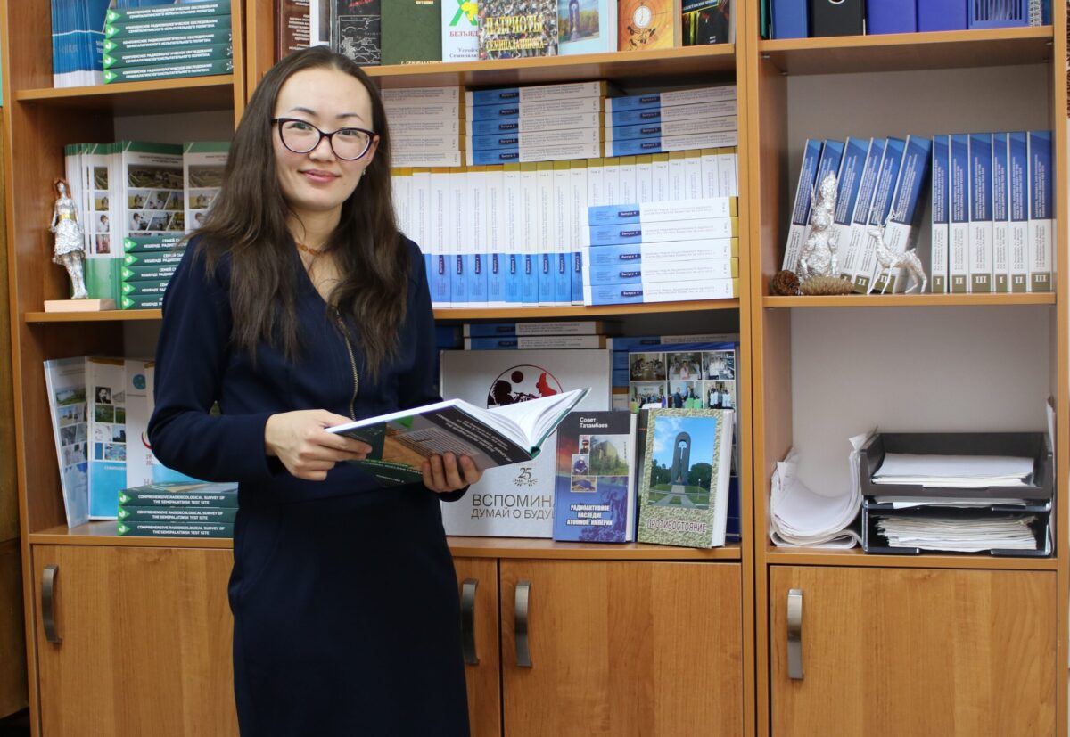
IRSE’s library is the largest scientific library in Kurchatov t. providing services not only to the Institute but also to other NNC branch’s staff members, Semey, Pavlodar, Ust-Kamenogrosk university students who did a practical training. The library stock numbers about 50,000 units of storage and contains core scientific, educational and reference literature. Currently, a portion of the book stock is in the electronic form.
Exhibition hall ‘Semipalatinsk Test Site’
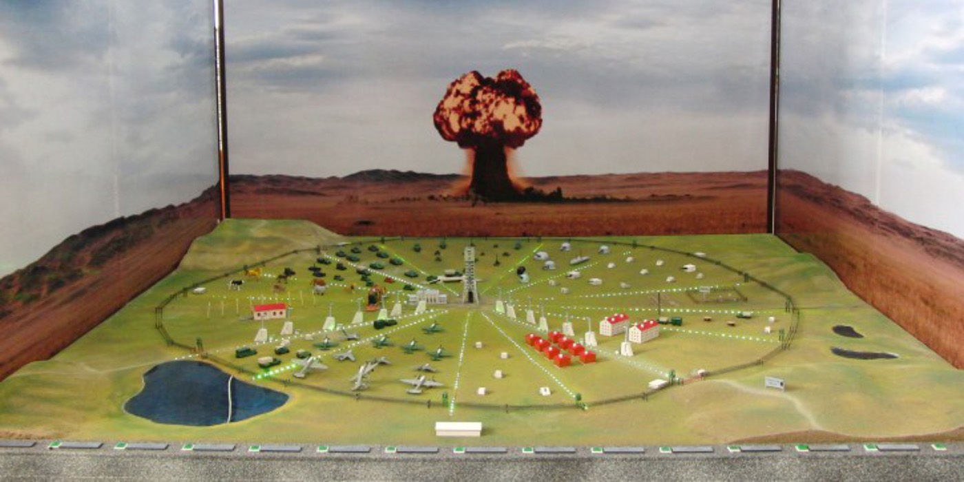
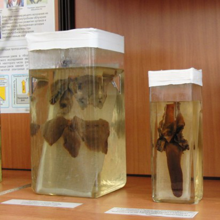
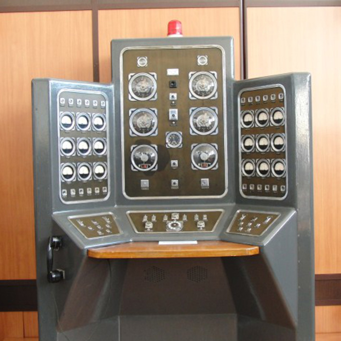
To promote the outreach and awareness-raising activity, the Institute offers a visit to the exhibition hall called ‘Semipalatinsk Test Site’. The STS exhibition hall was founded in 1972 on the premises of military unit 52605 as evidenced by the first record in the welcome book left by a leading soviet scientist, a designer of the first soviet nuclear bomb, Yu. B. Khariton.
The stock of the exhibition hall currently numbers about 100 depository items (photographs, documents, dummies, equipment). The purpose of the exhibition hall is to enlighten the broad public, and disseminate information on STS. The STS exhibition hall enables the familiarization with the origin and the history of the test site development, the major test locations, features of nuclear testing and nuclear effects, the current radiological situation in the STS territory as well as with the life and activities of the outstanding physicist-experimentalist I.V. Kurchatov. Conversations in the exhibition hall are held in three languages.
STS display-based travelling exhibition
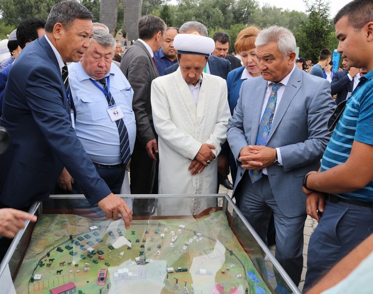
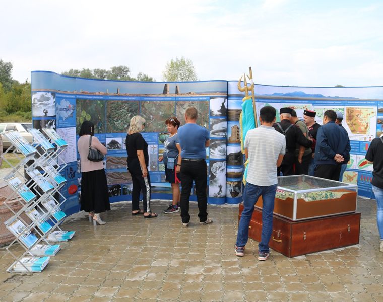
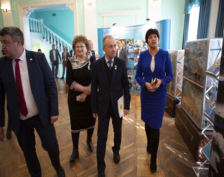
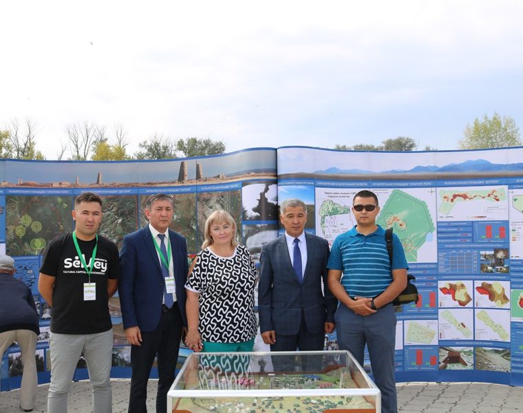
A portion of STS exhibition hall displays can be used in the travelling exhibitions to different settlements of Kazakhstan. Staff members of the branch ‘IRSE’ RSE NNC RK demonstrate information stands dedicated to the history of the Semipalatinsk Test Site, the current radioecological state at STS as well as speak about the ‘Experimental Field’ dummy explaining how the first aboveground nuclear test was conducted in the USSR, show portable dummies ‘Adit’ and ‘Borehole’ for underground testing. In addition, the exhibitions demonstrate ‘Virtual STS tours’ and the ‘Interactive map’ that was specifically developed by BSTI specialists for visitors to the STS exhibition hall.